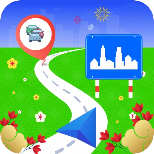
City routes, live traffic, transit routes, parking, offline map and navigation.
We are thrilled to announce the latest update to 2GIS, designed to better showcase the extensive information we've gathered about cities and companies. With this new version, we've revamped the design, enhanced the search functionality, improved city updates, and seamlessly integrated favorites with 2gis.ru.
Services, Addresses, and Companies
2GIS is your go-to source for finding out which service provider operates in your building, locating your nearest district hospital or post office, and selecting the perfect cafe or service center based on reviews and photos. We provide up-to-date opening hours and contact numbers, ensuring you have all the information you need at your fingertips.
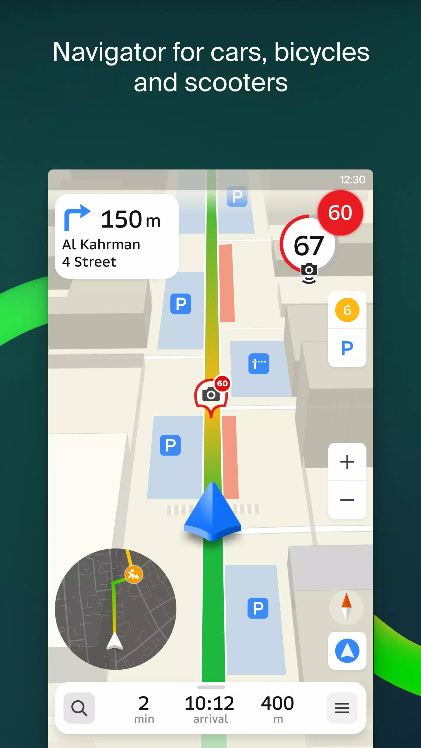
Transport and Navigation
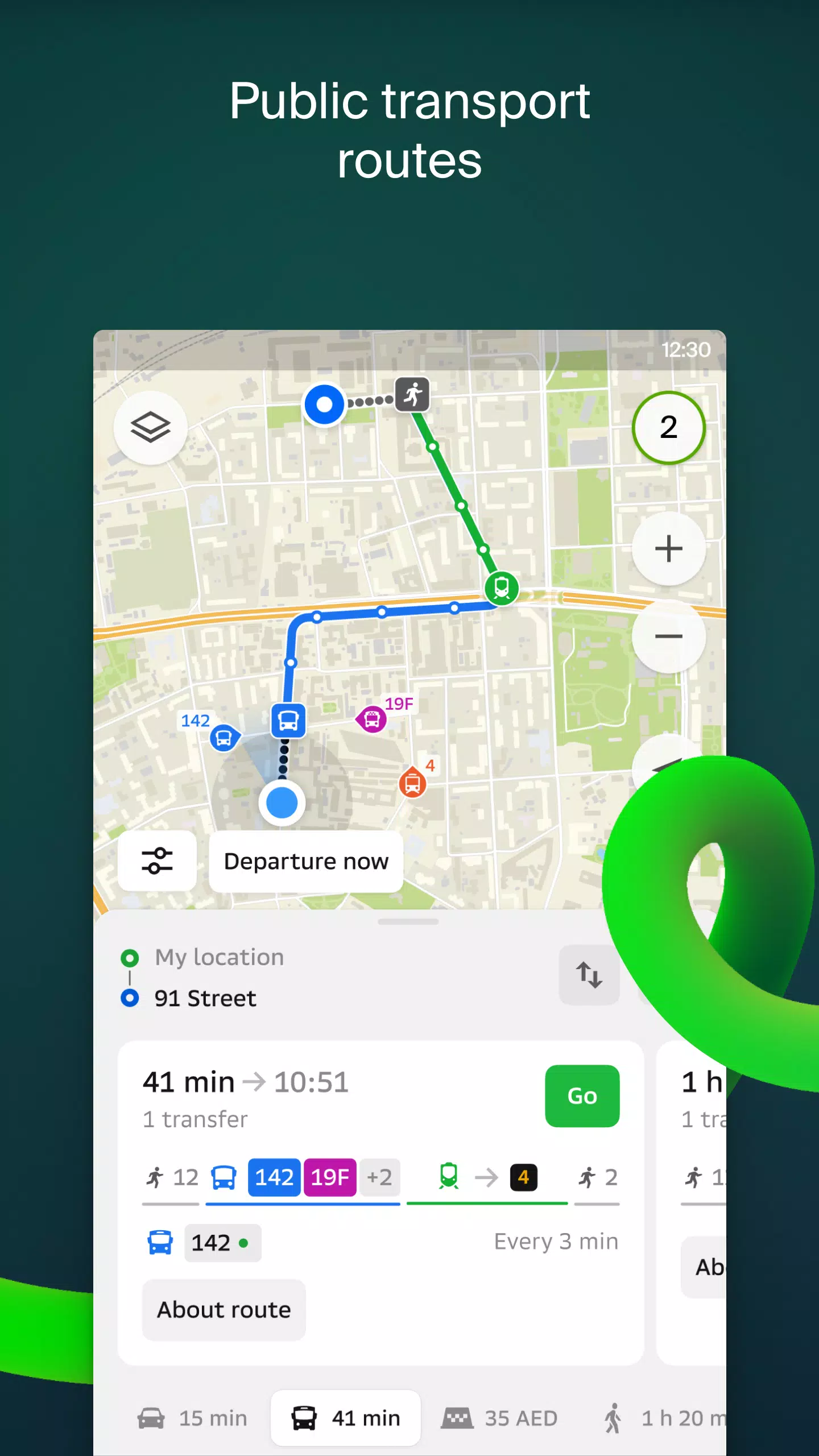
For drivers, 2GIS offers real-time voice-guided navigation, taking into account current traffic conditions and road closures. If you deviate from your planned route, we'll automatically recalculate to get you back on track. For those on foot, we provide detailed options for traveling by bus, metro, train, cable car, and even river tram.
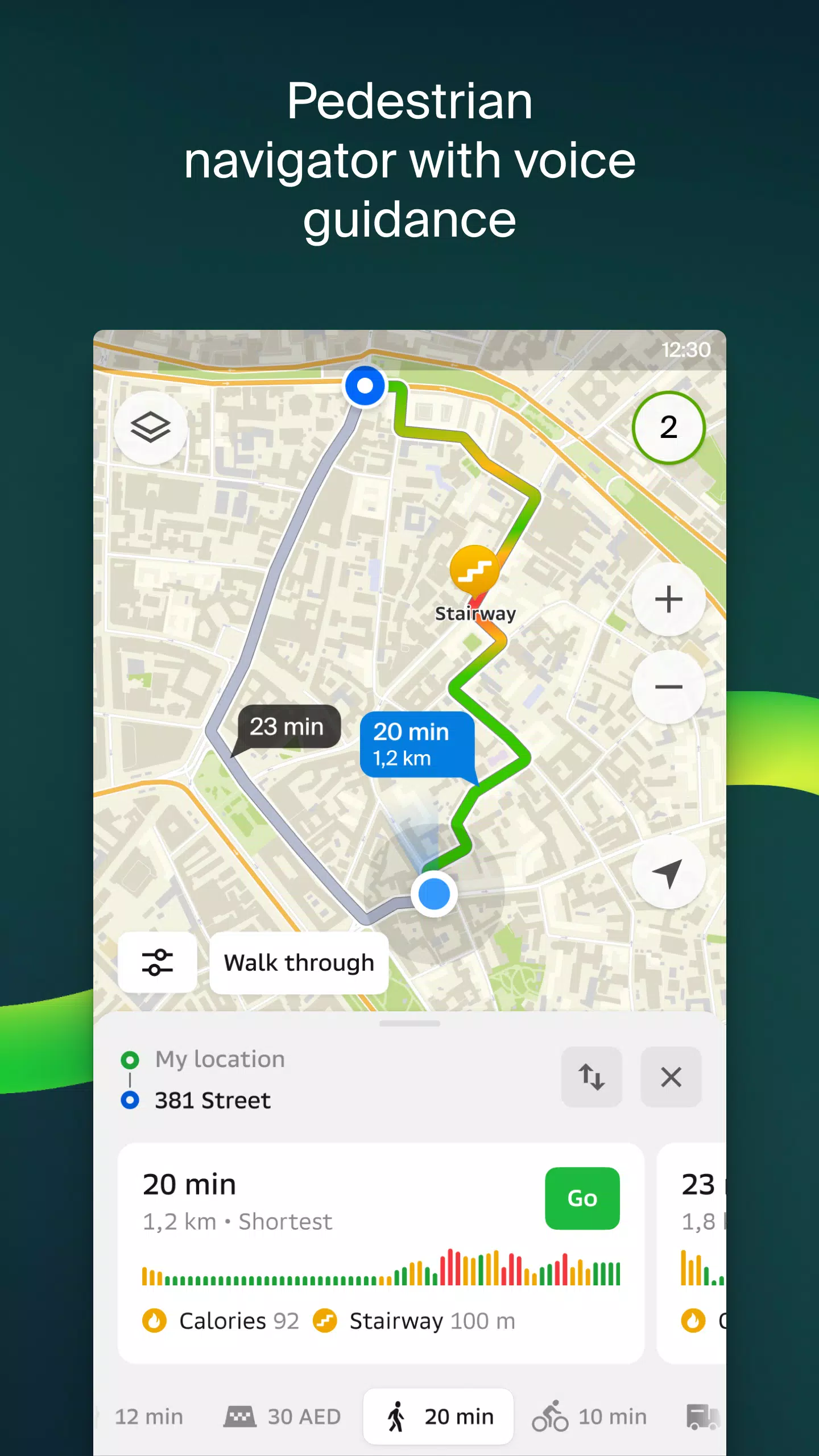
Walking Routes
Our pedestrian navigation system charts the most efficient walking paths and supports voice guidance, working smoothly in the background to keep you on course.
Friends on the Map
With 2GIS, you can now track the real-time location of friends and family on the map. You have full control over who can see your location and can easily manage your visibility settings.
Building Entrances
Never wander around looking for the right entrance again. 2GIS provides access information for over 2.5 million companies, guiding you directly to the door, whether you're arriving by public transport or car.
Plans of Shopping Centers
Navigate shopping centers with ease using 2GIS. We detail everything from stores and cafes to ATMs and restrooms, helping you plan your visit in advance to save time.
2GIS Beta Notifications Companion App for Smart Watches on Wear OS
Enhance your navigation experience with our new companion app for Wear OS smart watches. This handy tool syncs with the main 2GIS beta app, allowing you to view maps, receive maneuver hints, and get vibration alerts when approaching turns or bus stops. It starts automatically when you begin navigation on your phone and is compatible with Wear OS 3.0 and later versions.
By joining our beta program, you'll receive the latest updates as we address bugs and errors, contributing directly to the development of the next version of 2GIS, which will be used by millions. You can run both the original and beta versions simultaneously and switch between them at any time.
For support, please reach out to [email protected].
What's New in the Latest Version 6.44.1.559.3
Last updated on Oct 19, 2024
We're excited to share some beautiful, crisp updates in our latest version:
- We now display wide, realistic roads on the main map and during route searches.
- Introducing much-anticipated Chats for Friends! You can now message each other without leaving the map.
- Added notifications when a friend is nearby (which can be turned off in settings).
- Just in time for ski season, we've added ski lift statuses on slopes, so you can see whether they're open or not.
- For public transport routes that include walking, we now calculate the walking part in steps.