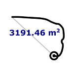
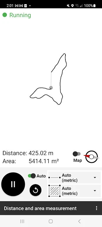
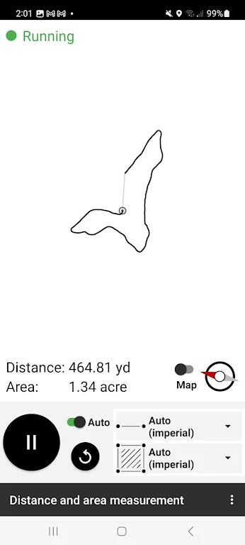
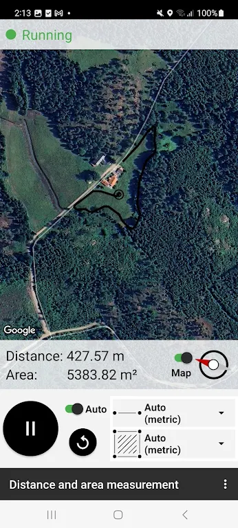
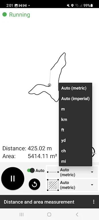
This innovative distance and area measurement app streamlines land surveying for agriculture, construction, real estate, and property management. Simply activate the app, traverse the area on foot or by vehicle, and watch the area and path length calculate in real time. Ensure GPS signal stability before starting, and restart if higher precision is needed. This user-friendly app eliminates manual calculations, offering a more efficient surveying process.
Key Features:
- Effortless Measurement: Easily measure area and distance with minimal steps – simply walk or drive the perimeter.
- Wide Applicability: Ideal for professionals across diverse sectors including agriculture, construction, real estate, and property management.
- Precise Results: GPS technology ensures accurate land surveying measurements.
- Intuitive Design: The app’s user-friendly interface and clear instructions make it simple to use.
Frequently Asked Questions:
- Accuracy: The app leverages GPS technology for precise measurements, ensuring accuracy in land surveying.
- Personal & Professional Use: Yes, this versatile app serves both personal and professional needs across various industries.
- Ease of Use: The intuitive interface and straightforward instructions make navigation and tool usage effortless.
Conclusion:
This app provides a convenient and accurate solution for measuring distance and area in agriculture, construction, real estate, and property management. Its user-friendly design and broad applicability make it a valuable tool for professionals and individuals alike. Download the distance and area measurement app today to optimize your land surveying and achieve precise results.

