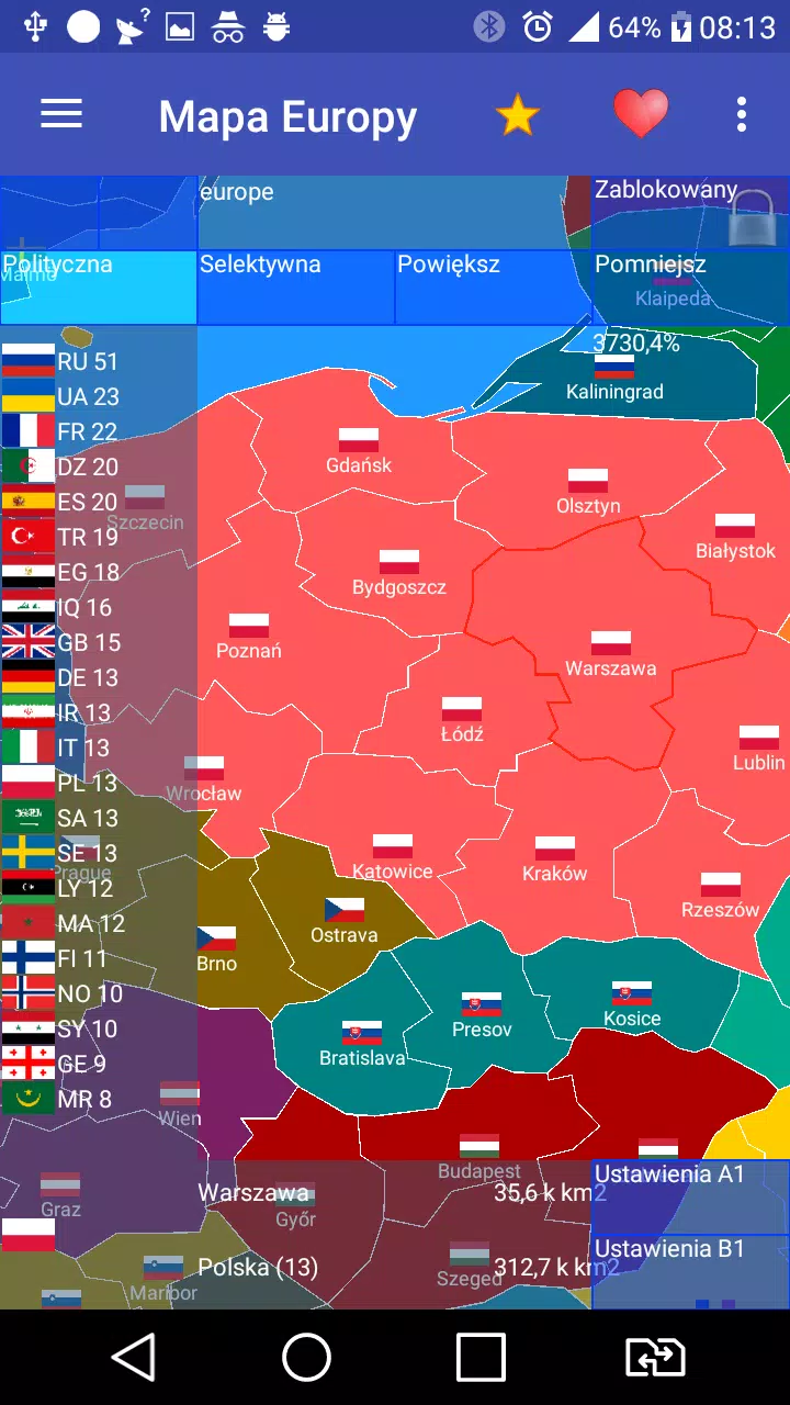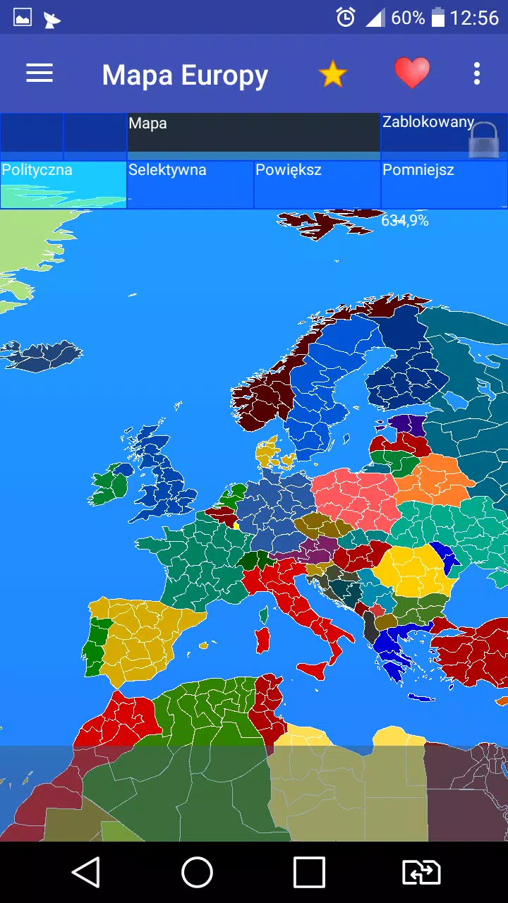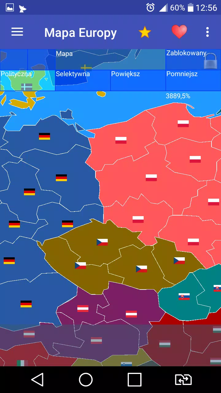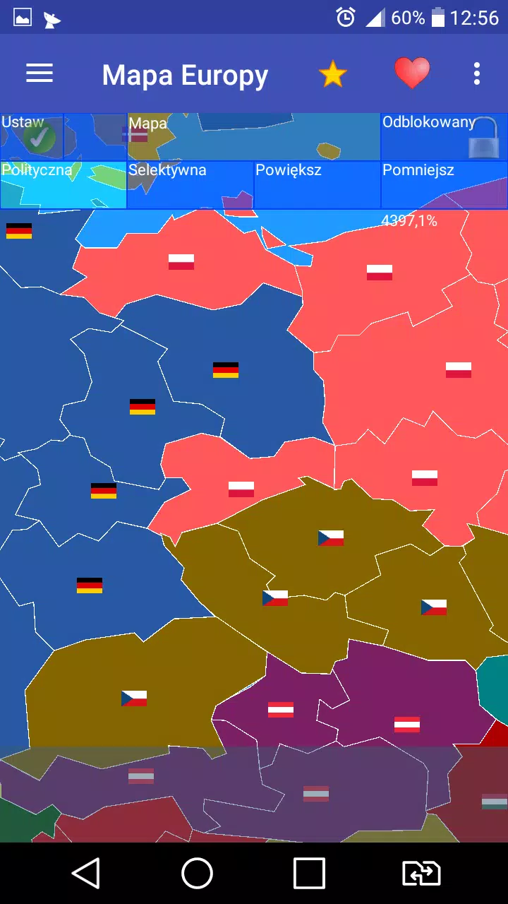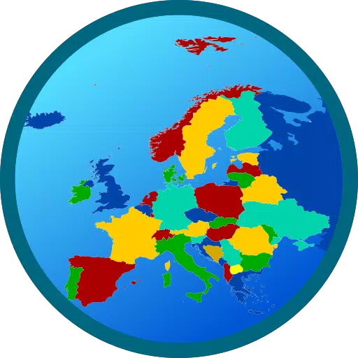
Creating a detailed map of Europe with over 800 provinces is an ambitious project that can be both educational and entertaining. Our app not only focuses on Europe but also extends to Africa and Asia, covering 60 countries in total. Each country is represented with its flag, adding a visual element that enhances the learning experience.
Key Features of Our App
Three Map Modes:
- Real Map: This mode provides an accurate representation of the current geopolitical landscape, complete with detailed borders and provinces.
- Clean Map: A simplified version of the map, ideal for educational purposes or for users who prefer a less cluttered view.
- Expansion Simulation: Engage in strategic gameplay where you can simulate the expansion of territories, perfect for those interested in historical or hypothetical scenarios.
Customization Options: In the Real Map and Clean Map modes, users have the freedom to modify country affiliations, allowing for personalized learning and creative exploration.
User-Friendly Interface: Our app is designed with ease of use in mind, ensuring that navigation and interaction are seamless and enjoyable for users of all ages.
Educational and Fun: Whether you're a student looking to learn more about geography or a history buff interested in exploring different scenarios, our app caters to a wide range of interests.
PRO Versions: Note that PRO features are currently disabled, but the core functionalities remain accessible and enjoyable.
What's New in Version 1.59.1
Last updated on Jul 23, 2024
- Bug Fixes: We've addressed several bugs to improve the overall performance and stability of the app.
- New Language Added: We're excited to announce the addition of French to our language options, making the app more accessible to French-speaking users.
We hope you enjoy exploring the vast and diverse regions of Europe, Africa, and Asia through our app. Be happy and keep learning!