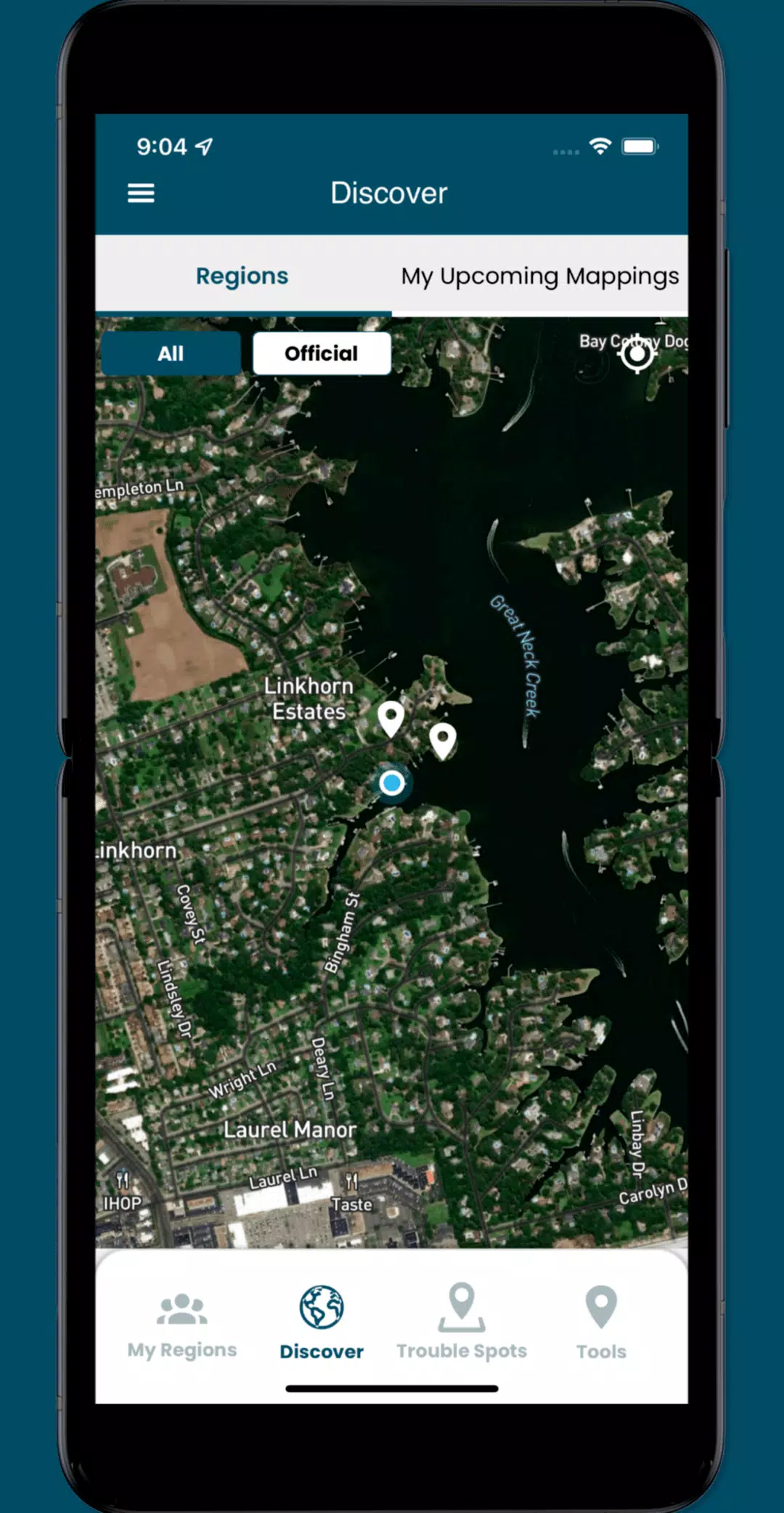
Participate in crowd-sourcing events to capture sea level rise data, and make a tangible impact on understanding and addressing this pressing global challenge. The Sea Level Rise app empowers you to map flooding in your community, helping to document the effects of sea level rise and other flooding events. Whether you live in or around low-lying coastal regions, your participation is invaluable. Our initiative began in Hampton Roads, Virginia, where we've gained insights from the mapping efforts of thousands of volunteers during the annual "Catch the King Tide" events. Developed by Wetlands Watch, this app fosters a better-informed and connected community, helping us stay ahead of sea level rise impacts.
Through the app, you can access user-submitted information on this global phenomenon and contribute as a volunteer by capturing street-level data crucial for understanding and addressing the challenges posed by sea level rise. Here's how you can get involved:
- Participate in crowd-sourcing events to capture the localized data that researchers and civic leaders need to make informed decisions.
- Identify and add nearby "Trouble" spots where high water disrupts travel during inclement weather, helping others navigate safely.
- Capture and share photos that document the real-time impacts in your community, raising awareness and fostering collaboration.
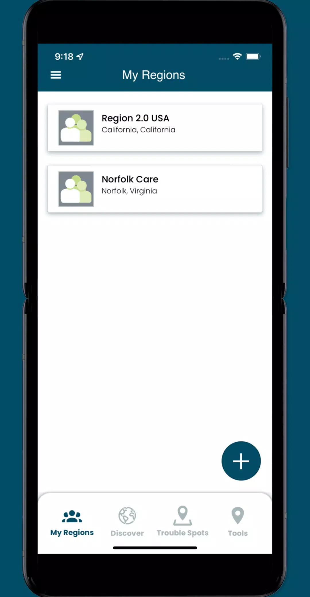
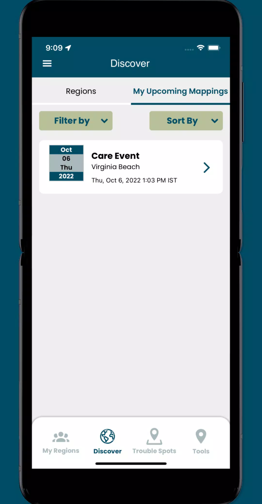
- Access specific collaboration spaces, called regions, where you can manage volunteers and schedule mapping events to maximize our collective efforts.
What's New in the Latest Version 3.0.9
Last updated on Oct 19, 2024
Update the following functionality:
- Implemented minor UI enhancements and resolved several issues throughout the app to improve user experience.