The Official Tree and Park Cadastral Application of the MAIN GARDEN
Explore the public tree and park cadastre of FőKERT through the BP Fatár application. This powerful tool also provides access to additional cadastres from various district municipalities:
- I. district municipality tree and park cadastre
- VI. district municipality tree and park cadastre
- X. district municipality tree and park cadastre
- XI. district municipality tree and park cadastre
- XIII district municipality tree and park cadastre
- XIV. district municipality tree and park cadastre
- XVIII district municipality tree and park cadastre
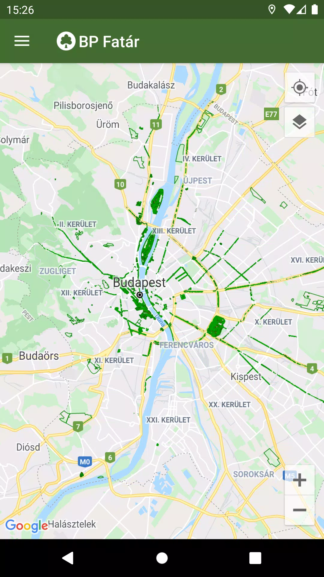
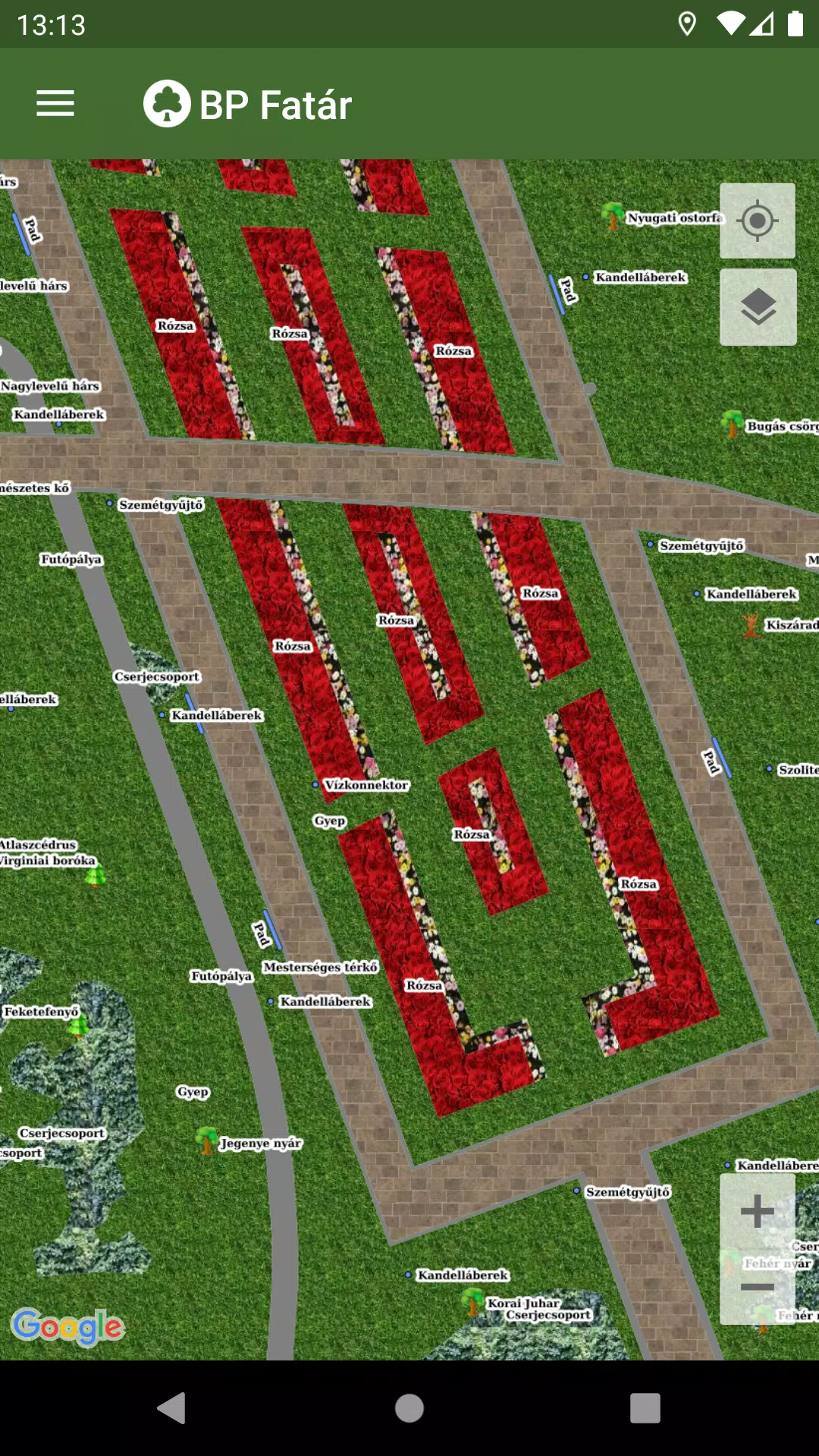
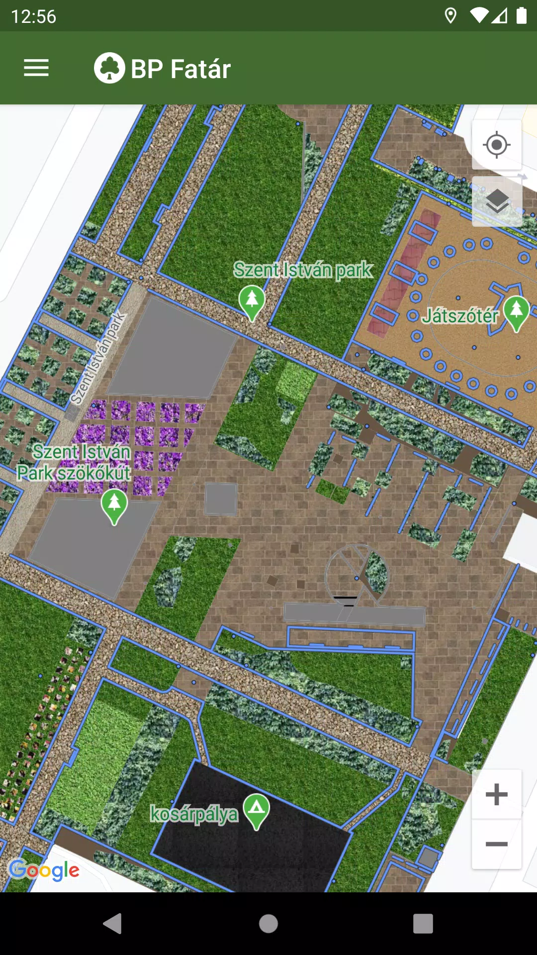
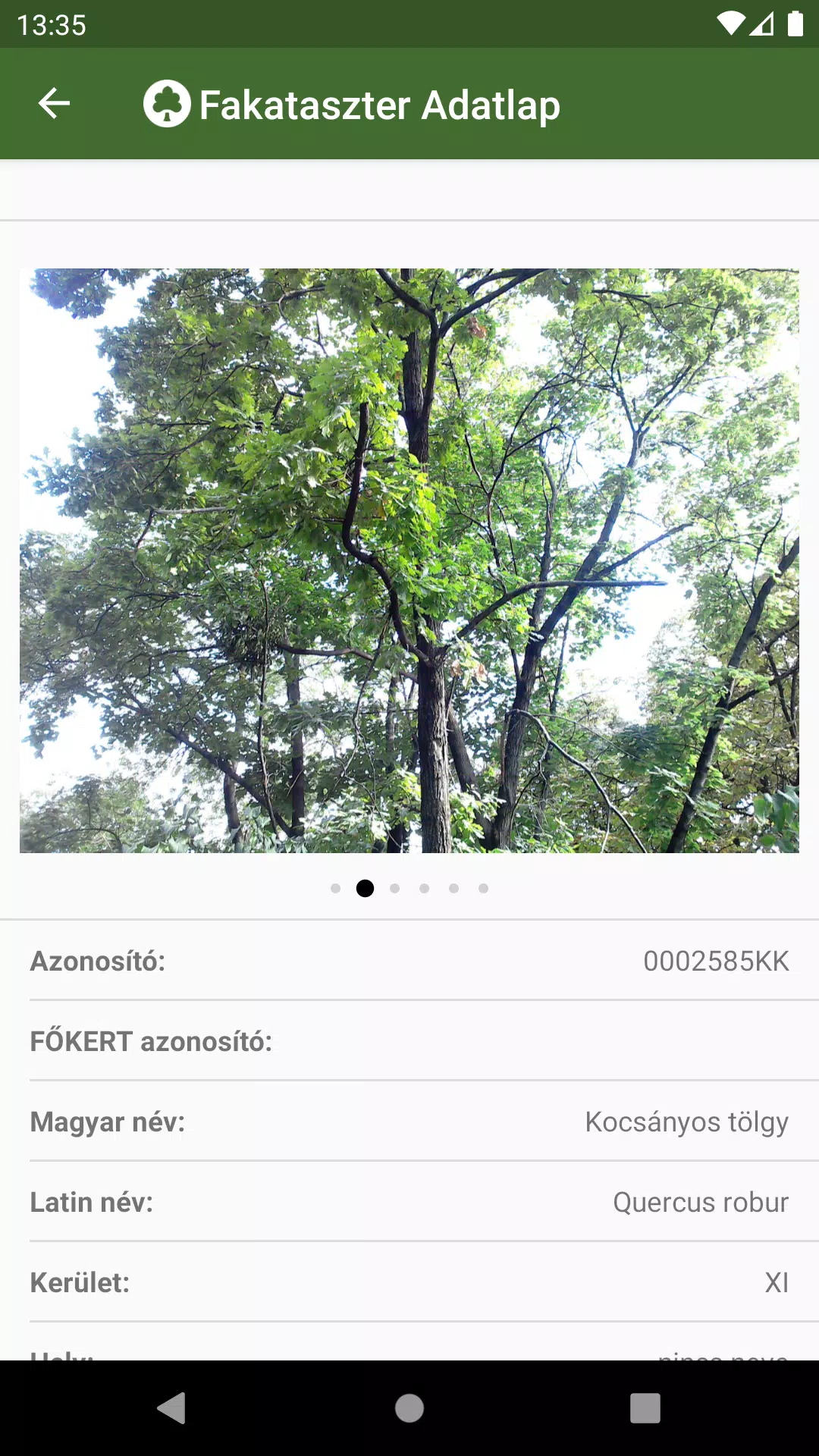
To access detailed information, simply navigate on the map to your area of interest and click on the points, lines, or surfaces that represent the cadastral elements. This action will open a data sheet where you can review detailed information about the selected element, including photos.
To enhance your navigation experience, we've integrated a comprehensive search engine:
- Use the tree scanner to search by tree species, utilizing both Hungarian and Latin names.
- Browse through categorized groups within the park cadastre to find what you're looking for.
The results from both search options will display the locations of all corresponding cadastral elements directly on the map, making it easy to pinpoint exactly what you need.
If you encounter any issues, such as a damaged tree or bench, you can report these directly to the data manager's employees listed on the data sheet. Simply click the "Error Report" button on the relevant element's data sheet to initiate the process.
What's New in the Latest Version 1.5.2
Last updated on Oct 20, 2024
Bug fixes.